
Stanley Ghyll Force | Exploring the Lake District
I love the opportunity to get out and explore all the beautiful places that can be found within the borders of our home county of Cumbria. After all, it's one of our main motivations for moving, and raising our family here.
Read on to discover our latest adventure, hiking up to view the upper fall of Stanley Ghyll Force; including where to park, how to find the waterfall, and other facts you'll need to enjoy this amazing day out for yourself.

About Stanley Ghyll Force
Stanley Ghyll Force is a 60ft high waterfall set into a 150ft narrow gorge filled with rhododendrons, ferns, and other vegetation. It felt sparce and rocky when we visited during the early spring season.


However, Stanley Ghyll Force is well known to become green and almost tropical during the summer months, making it one of the most beautiful waterfalls in the Lake District. Even without the lush greenery of the summer, you can see why - it's simply breathtaking, and the views across the Eskdale Valley are spectacular.
Where can I park?
There is a small National Trust car park hidden away near the entrance to Dalegarth Campsite. You can follow the postcode to the campsite and look out for the car park on your left just beyond Trough House Bridge.
To find the car park, use this post code: CA19 1TF
Alternatively, use what3words: boomers.timing.summit
Alternative parking is located at Dalegarth Station on the Ravenglass-Eskdale Railway.
How long is the route to Stanley Ghyll Force?
One-way, the route to hike up to Stanley Ghyll Force is a little over a mile, regardless of whether you start at the National Trust car park to the North or Dalegarth Station. The main Dalegarth and Stanley Ghyll circular is 2.6 miles in length.
How difficult is the hike to Stanley Ghyll Force?
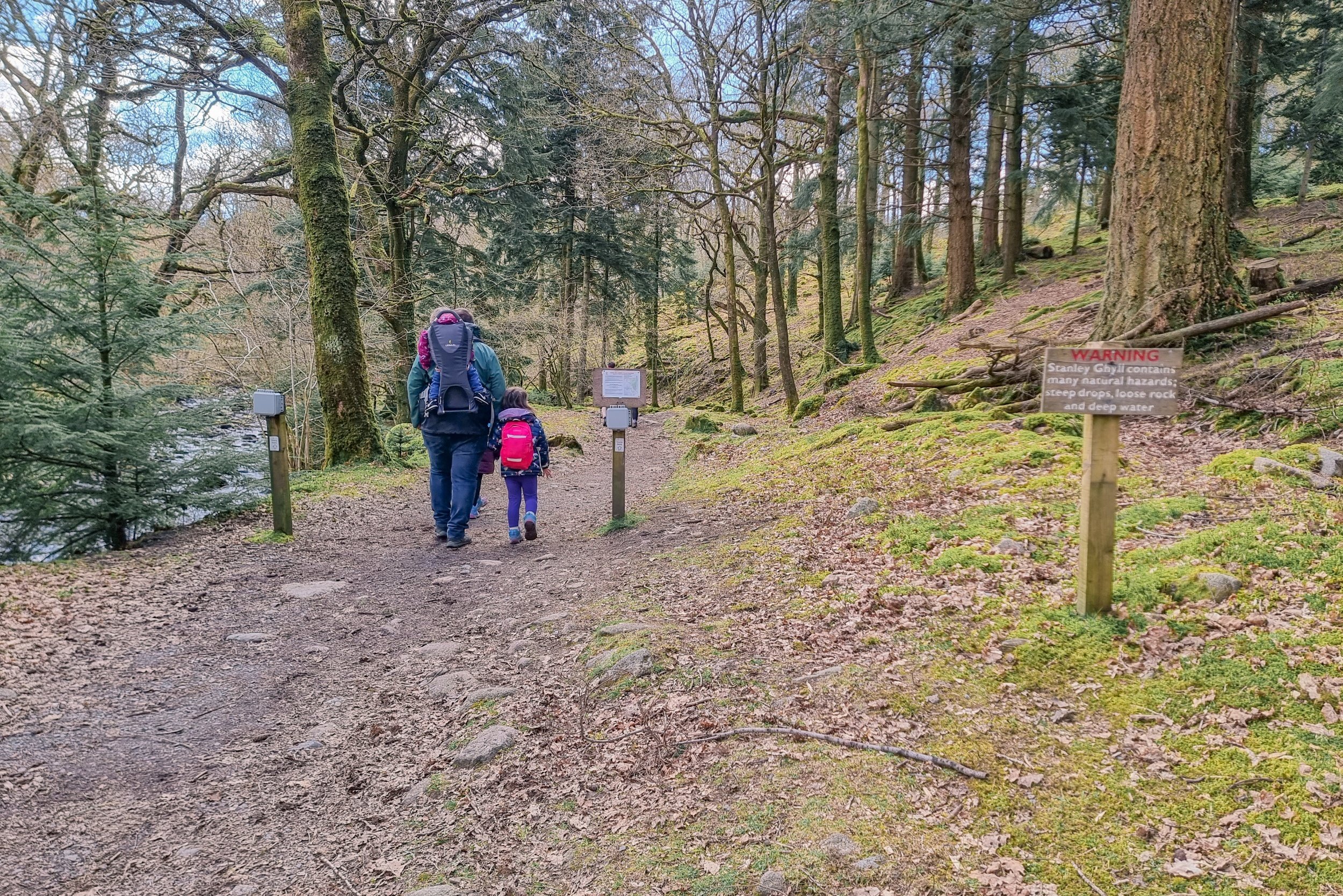
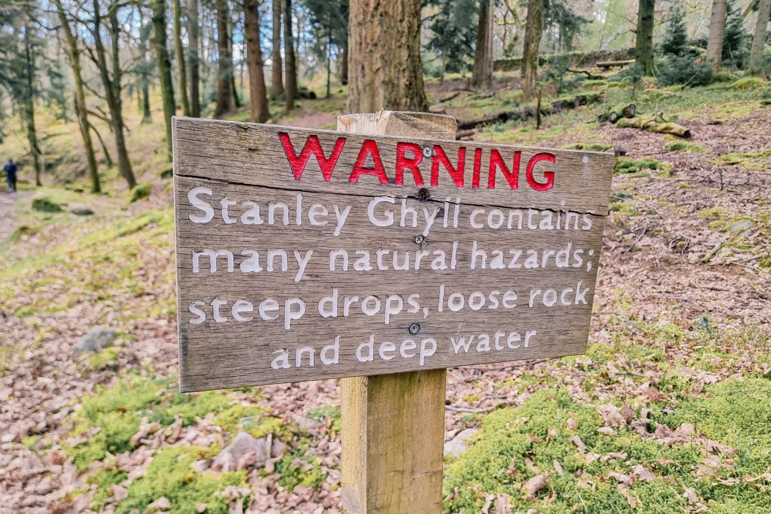
This route - although one of the shorter ones we have attempted - is of moderate difficulty, and is not accessible. In places the route is extremely steep, has sudden drops, rocky terrain, and some pathways are narrow. Additionally, Stanley Ghyll has fast running, very deep water. This should be taken into account when planning your day out.
Always check the weather.
Consider whether this hike is suitable for you and anyone you are planning to visit with.
The area is popular, so be aware you will likely encounter others during your explorations.

The route to Stanley Ghyll Force
From the National Trust Car Park
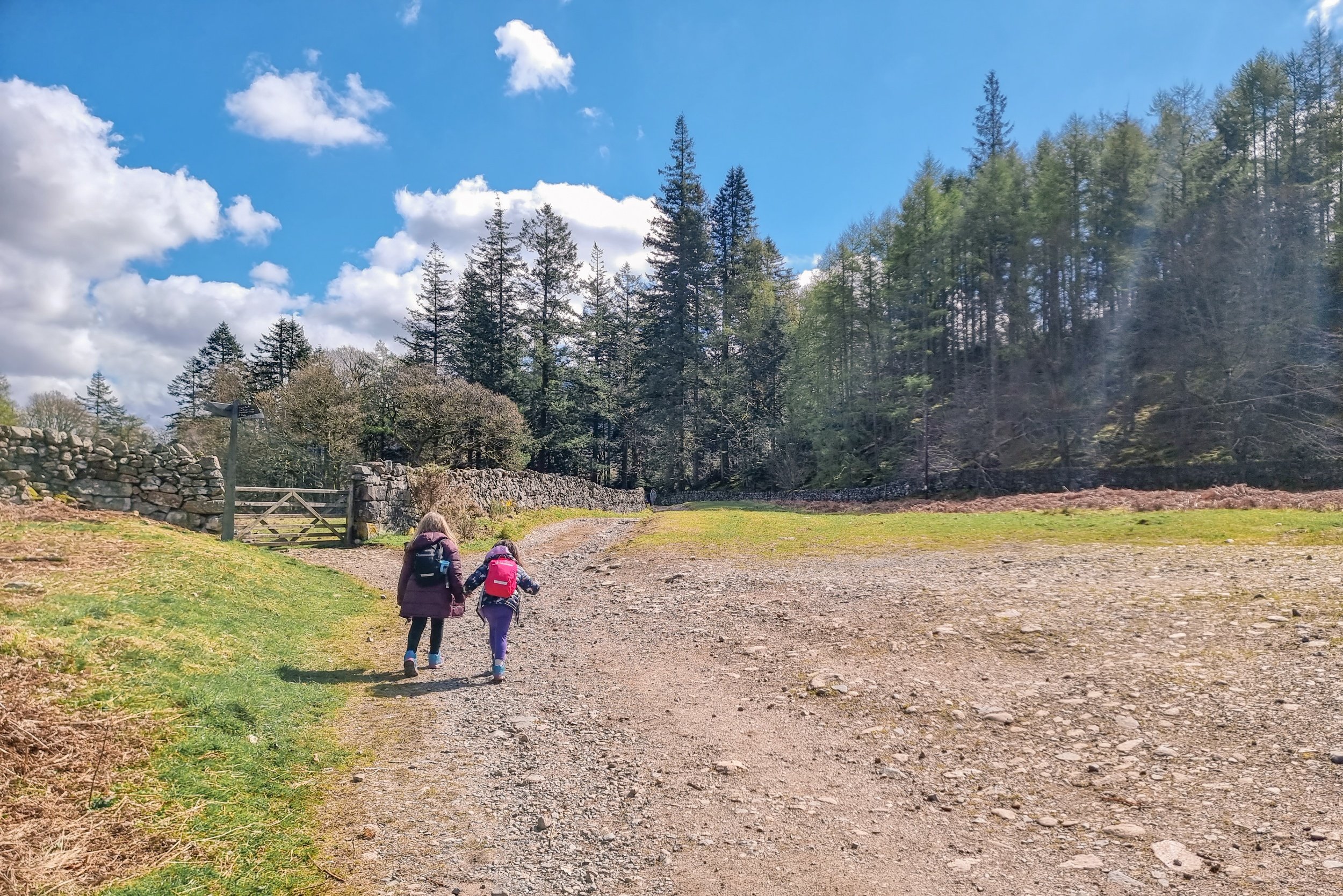
1. Begin your journey by turning left out of the car park, and follow the path. It winds to the left past Dalegarth Hall.


2. Pass through the wooden gate and continue up the hill.
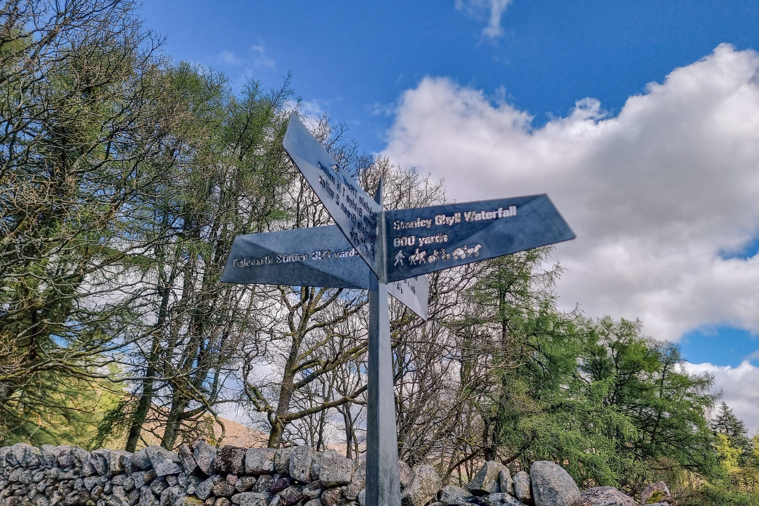
3. Here you will find a Lakeland Steel laser cutout signpost pointing you in the right direction. Continue up the path ahead.
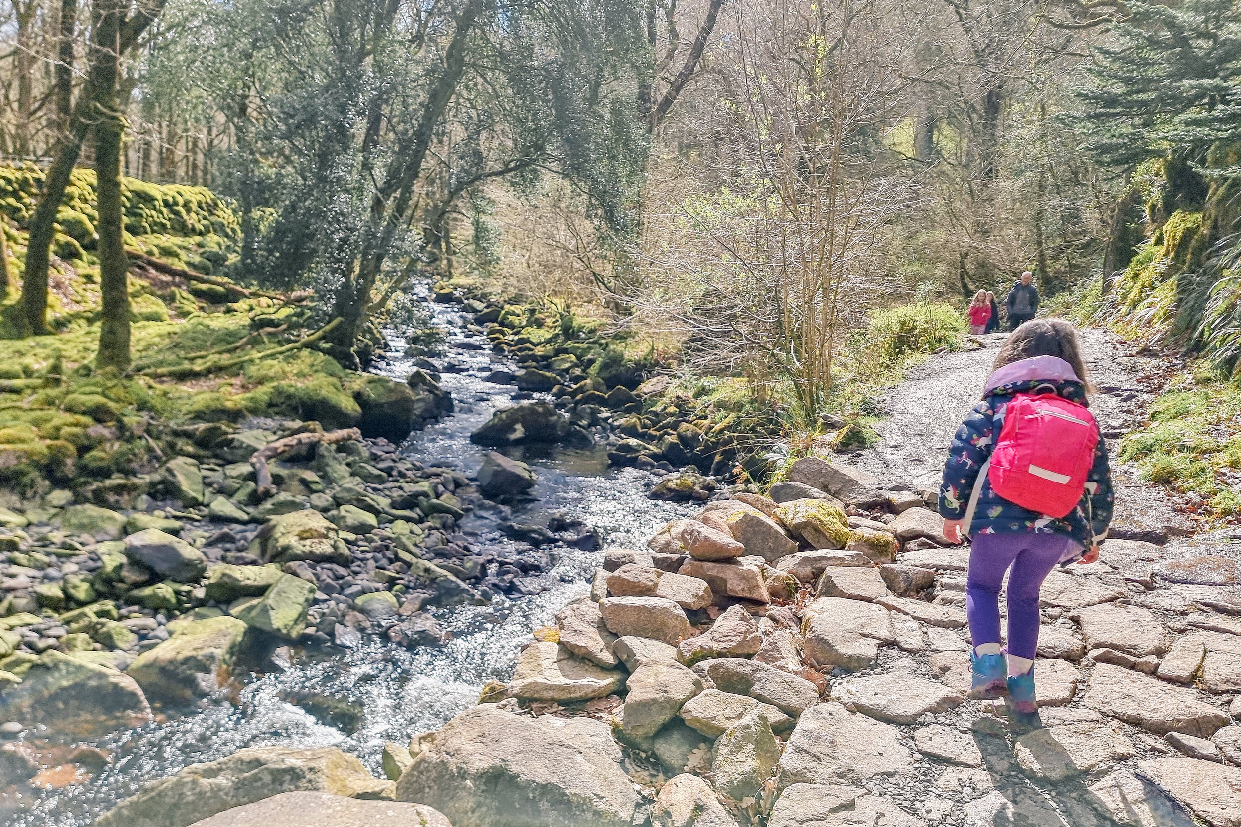
4. You will reach a crossroads with a gateway to the left and a path to the right. Head through the gate and onto the path that follows Stanley Ghyll Beck.

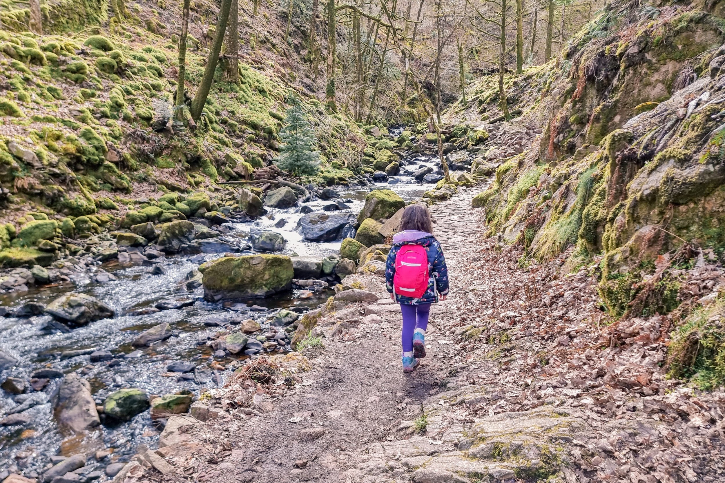
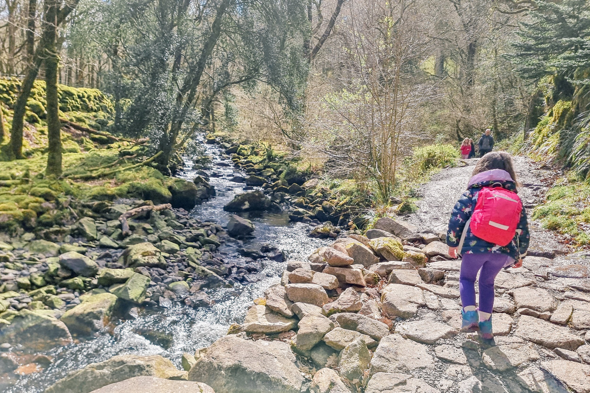
5. Follow the path to the right. From this point onwards there is pretty much only one route up.
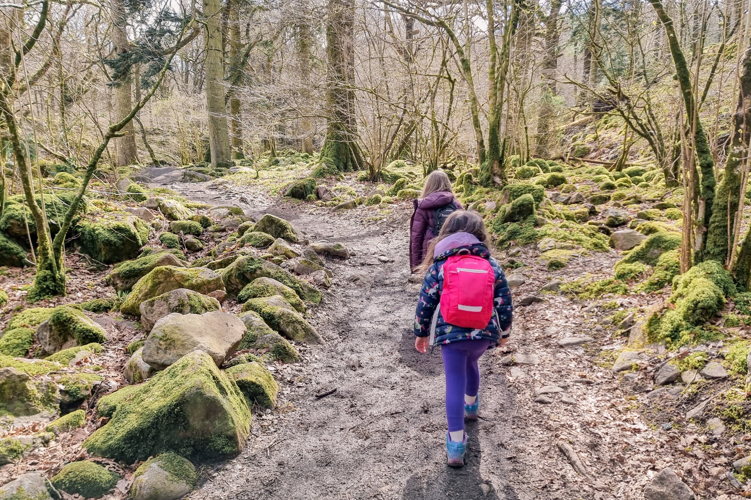
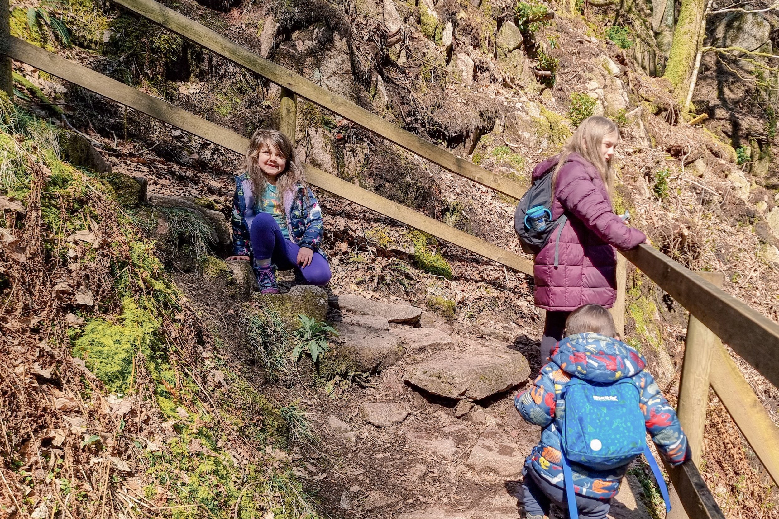
Be sure to take extra care from here on out. The path is close to Stanley Ghyll Beck which is deep and fast running. Additionally, it is rocky underfoot, narrow in places and slippy too.
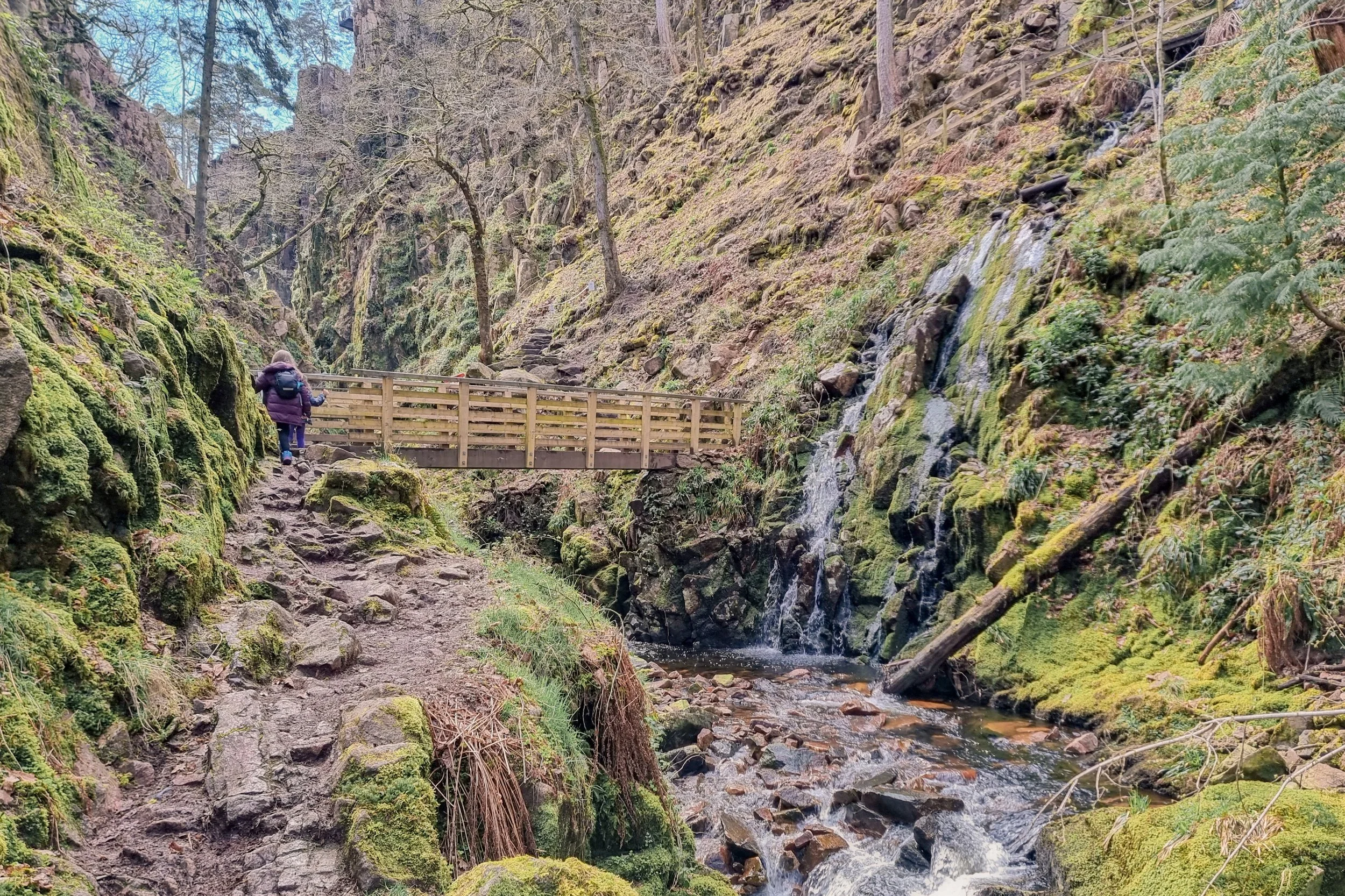
6. Next you will come to some natural stone steps leading up to a wooden bridge. Cross over the bridge and continue along the path.
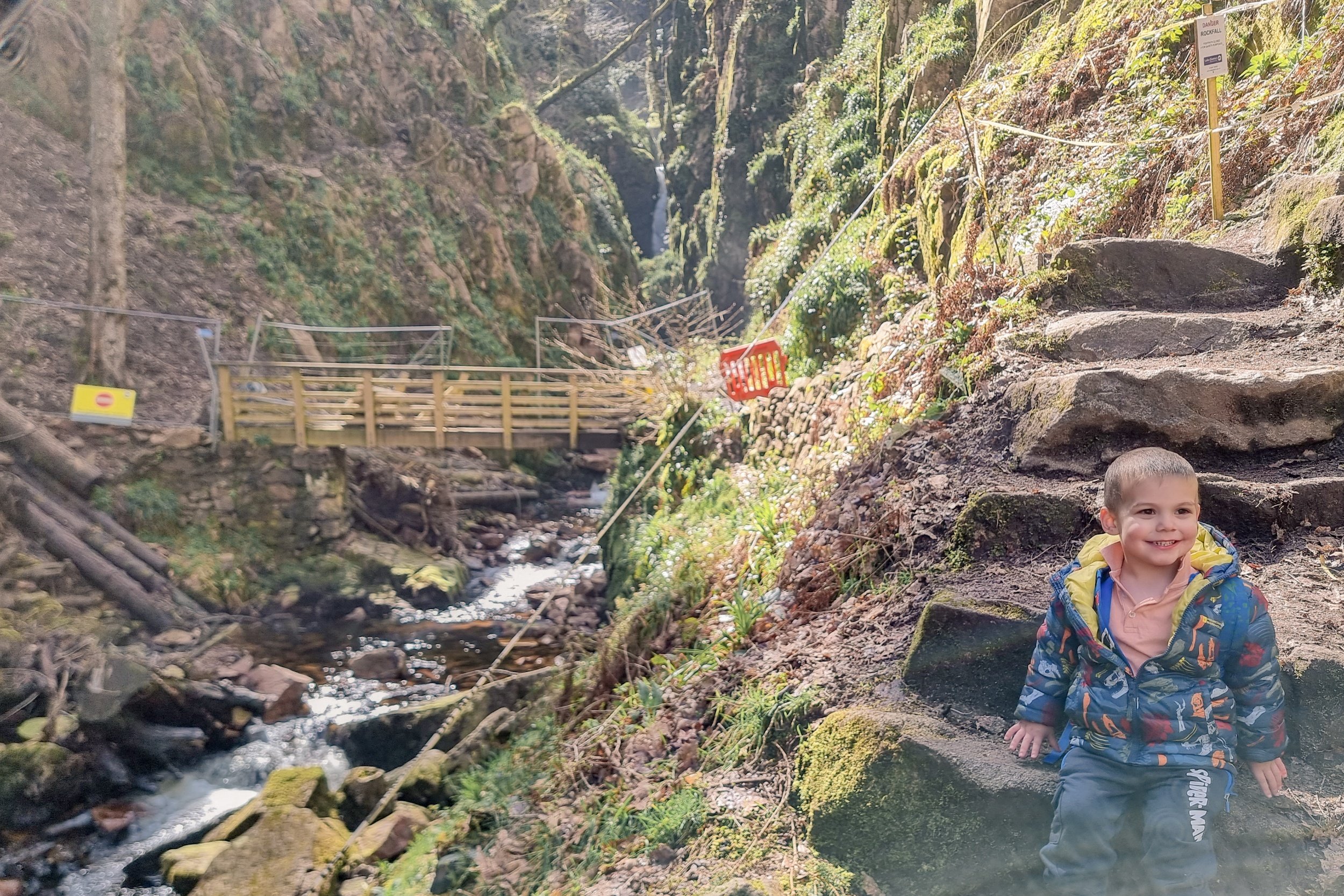
7. A second bridge is ahead to the right of the path. Continue along the path and cross over. Here you will find more steps curling up into the hillside.

There is a second path that is currently closed here, where you can usually access the bottom of the waterfall. As you cannot currently follow this path, instead follow the steps to the right over a mini bridge.
8. Follow the steps up to the top. Some of the steps are extremely slippy, especially after heavy rain.
9. At the top of the stone steps, continue to follow the path. You will see a large flat stone that creates a natural bridge over Birker Beck.

10. You're on the final part of the route! Follow the path up and to the right until you reach a clearing in the trees. The viewing platform for Stanley Ghyll Force upper falls is on the left.
FAQs about our family days out
Is it suitable for children and / or dogs?
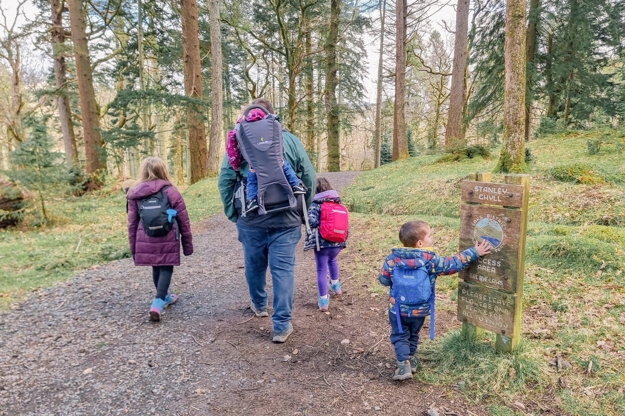
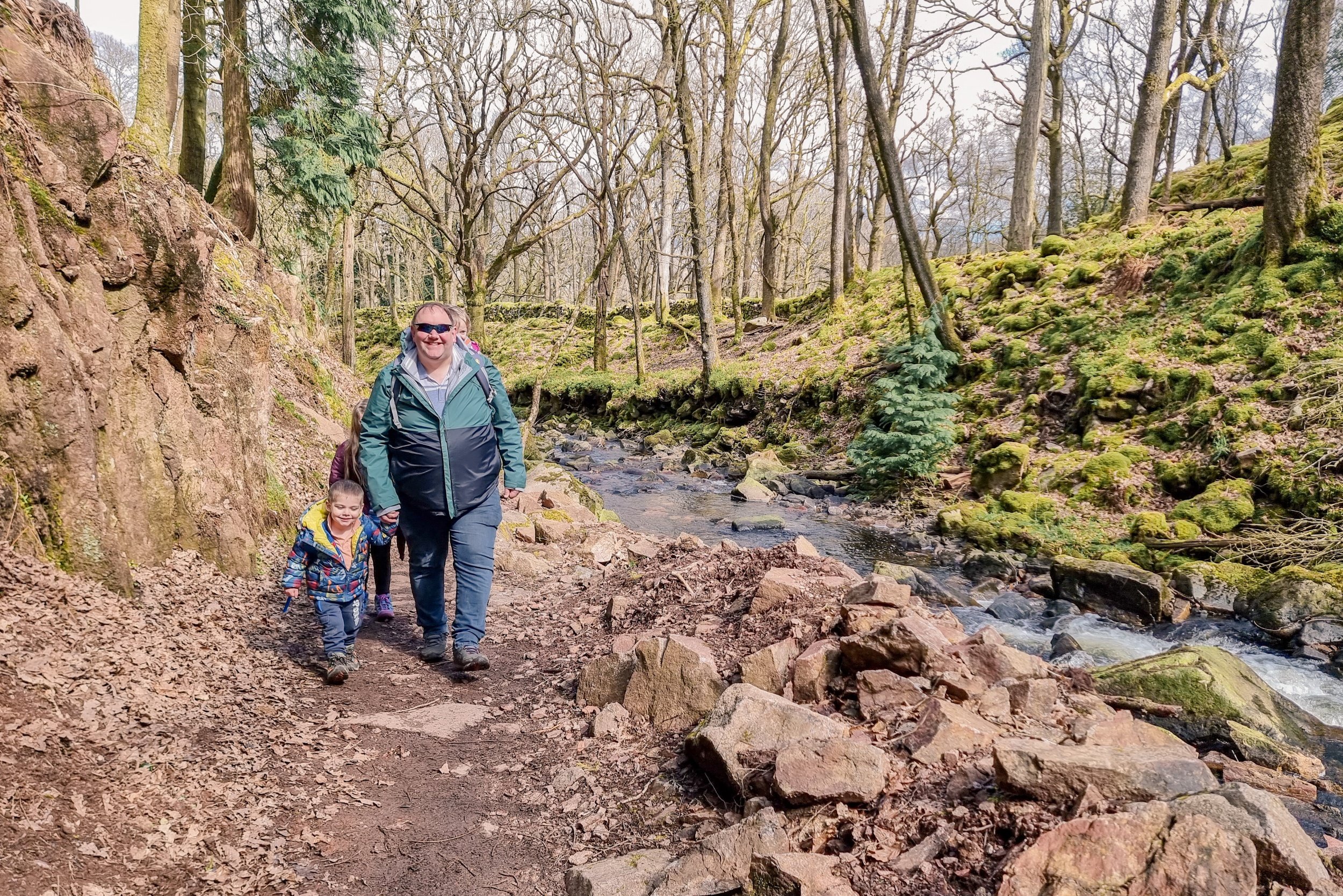
Although we did see families with older children on the route and a number of dogs of varying sizes, this route is not accessible. Whilst Munchkin did manage the hike up to see Stanley Ghyll Force, I would suggest it is not a route that most children under 5 could manage. It is also important to bear in mind that even on the nicest of days the route can be steep and slippy in places, if you're planning on heading here with your family.
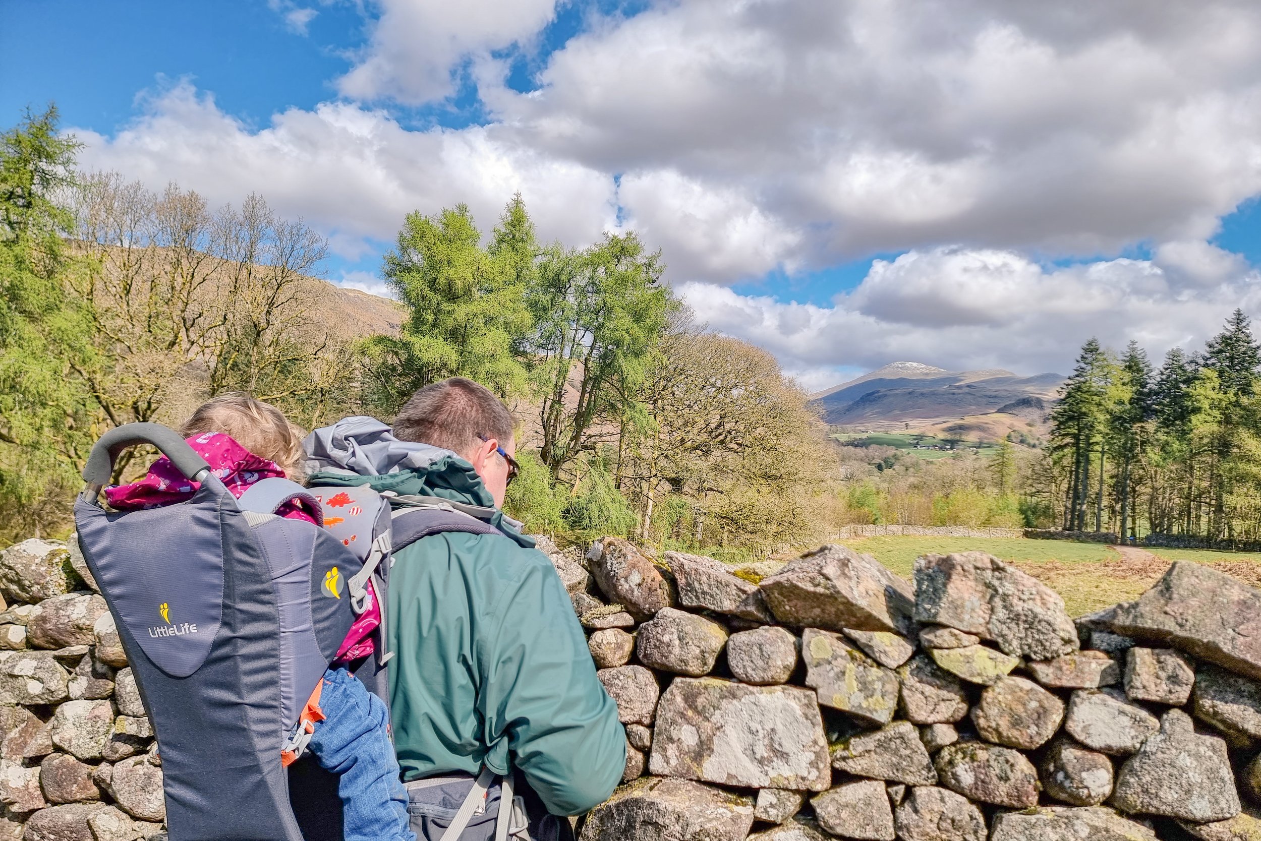
However, if - like us - you are a family who regularly walk, hike, or climb, it is certainly within the realms of possibility. Munchkin proved that, after all, he is just three years old and completed the whole route on his own like an absolute champ. Obviously Peanut enjoyed her journey up in the LittleLife carrier, so we didn’t have to worry about her walking up.
Are there facilities available?
There are no facilities at the National Trust car park or within the borders of the route to Stanley Ghyll Force.
However, Dalegarth Station is close-by and offers access to some of the facilities you may need while on your day out. Dalegarth Station is home to Fellbites Café, the Scafell Gift Shop where you can purchase souvenirs, and toilet facilities.
Is there anywhere to eat nearby?
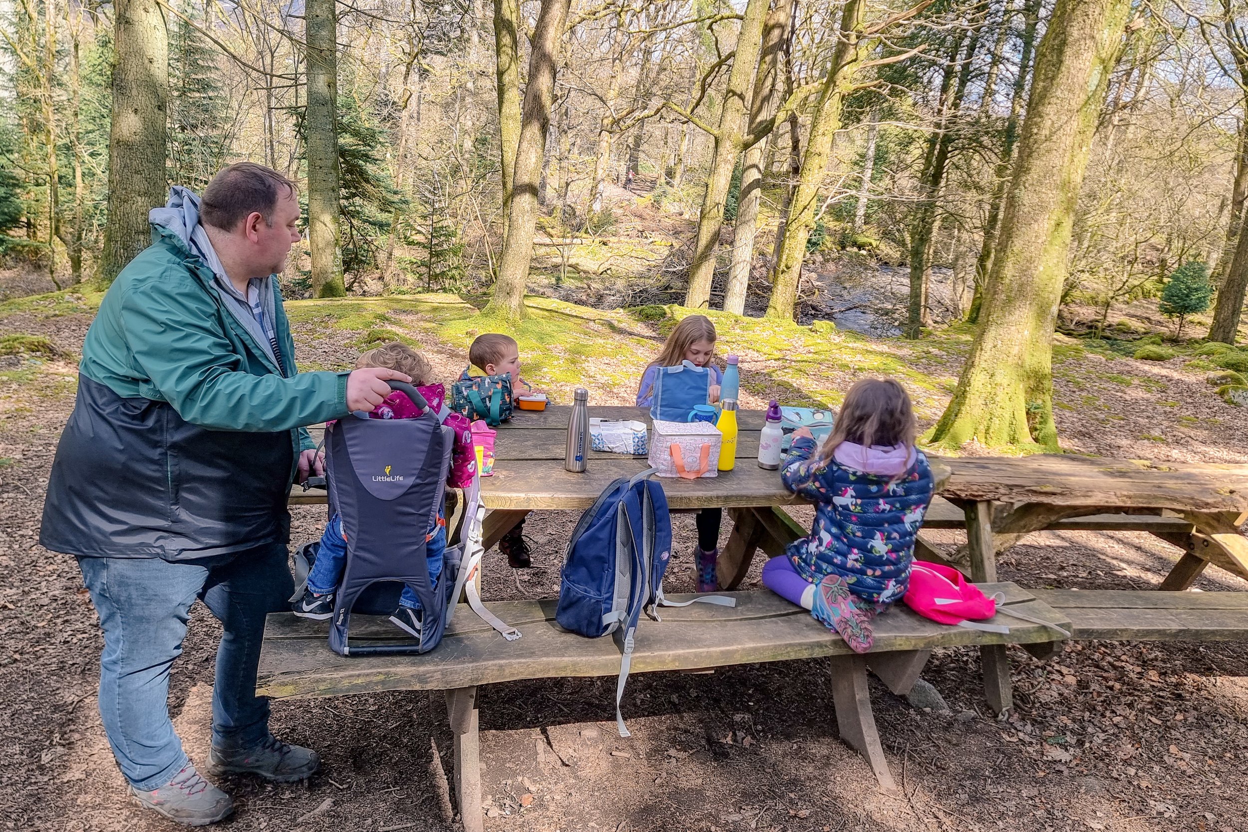
In the immediate area you will not find anywhere to grab a snack or meal, but there are picnic benches on site. If you fancy something other than bringing your own picnic there are cafés and pubs a short drive away such as Fellbites Café, Boot Inn Restaurant, and Brook House Inn and Restaurant.
Stanley Ghyll Force has to be up there in my top ten places we have visited so far. I hope that this post gives you everything you need to know about getting out and enjoying this amazing day out for yourself.
For more blog posts about exploring the beautiful outdoor spaces in the Lake District and beyond, check out the other blogs in my days out and travel blog. Have you found somewhere amazing to visit in Cumbria? We love to explore new spots, so feel free to share in the comments below.
Pin It!


Check out the beautiful Buttermere Circular, with all the info you need to plan your own visit.