Buttermere Circular | Miles without Stiles 25
Disclaimer: This post contains affiliate links which are indicated by the use of a dagger (†). All review words and opinions are my own. All photos are copyright property of Me Becoming Mum.
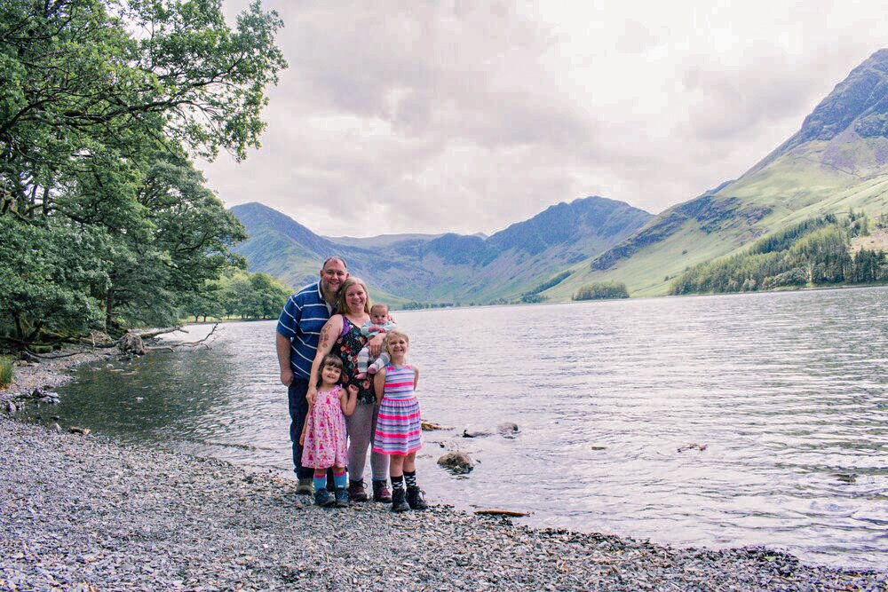
The Buttermere Valley is one we have had the pleasure of enjoying on more than one occasion in the past few years since moving to Cumbria. Below you will find everything you need to know about exploring the beautiful circular hike around Buttermere, including:
Facts about Buttermere.
Where to park.
How far the walk is.
It's suitability for children and accessibility.
Facilities available.
So, let's get started. Read on to discover everything you need to know about this stunning spot in the Lake District.

About Buttermere
Buttermere offers some of the best views in the Lake District. Nestled in the village and valley of the same name, this beautiful lake offers easy, low-level walks which are almost fully accessible.
Where can I park?
Gatesgarth car park
Gatesgarth Car Park is located to the south end of Buttermere with easy access to the Buttermere Circular walk.
To find this car park, use this post code: CA13 9XA

National Trust car park
The National Trust car park is free for members, and is located to the north of Buttermere. From here you have access to both the Buttermere Circular and Crummock Water.
To find this car park, use this post code: CA13 9XA

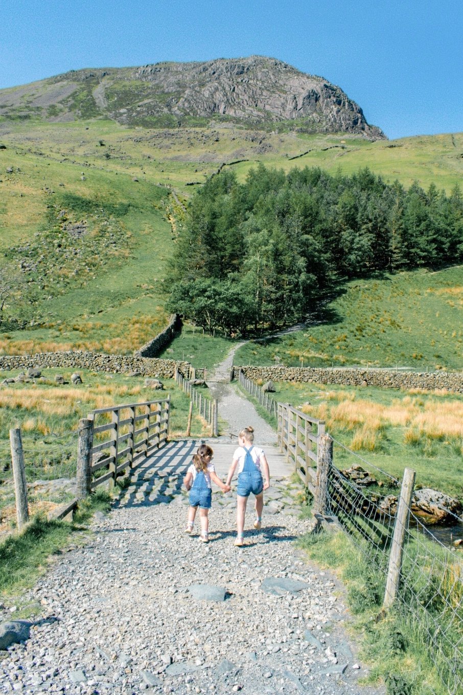
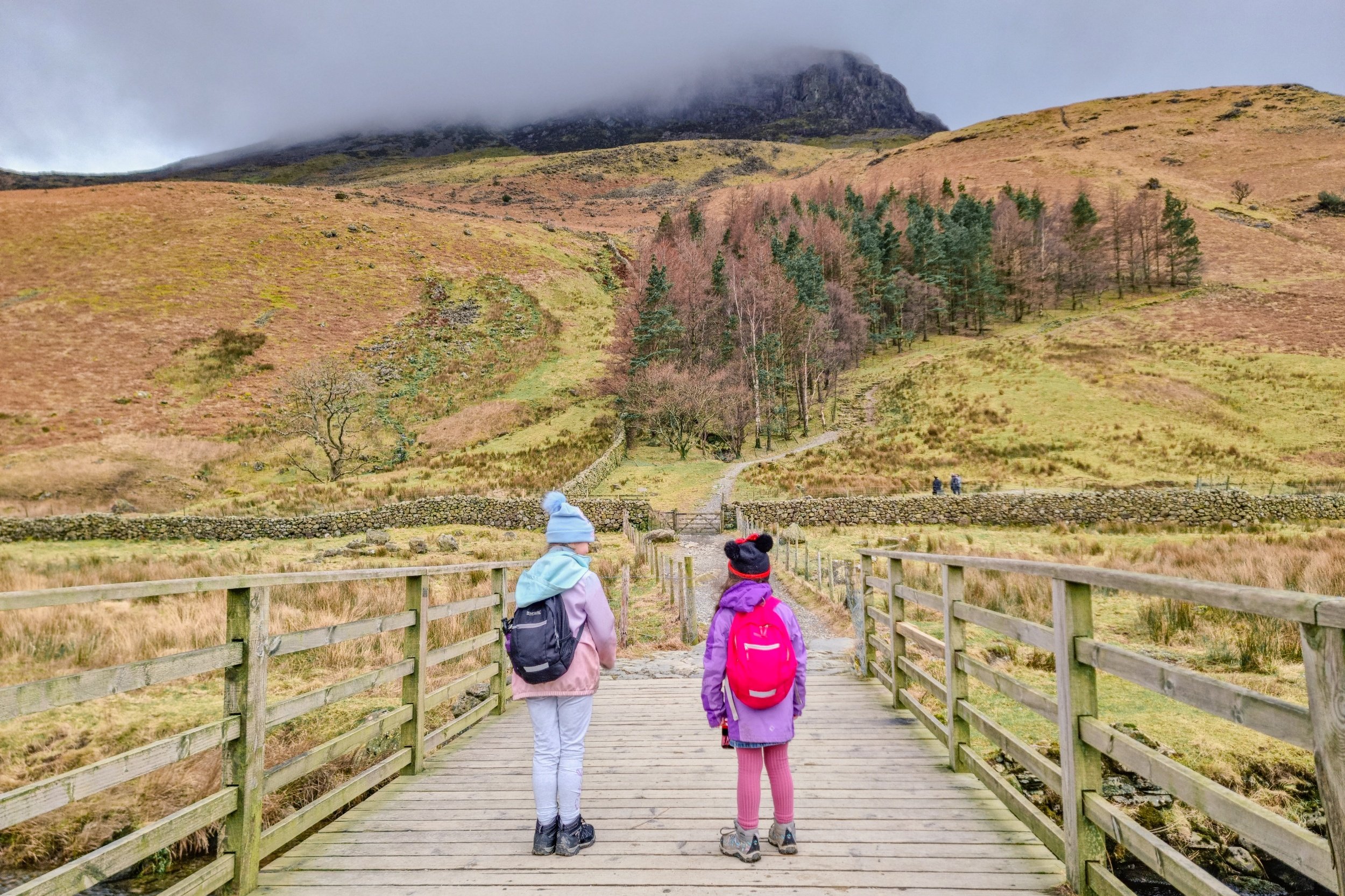
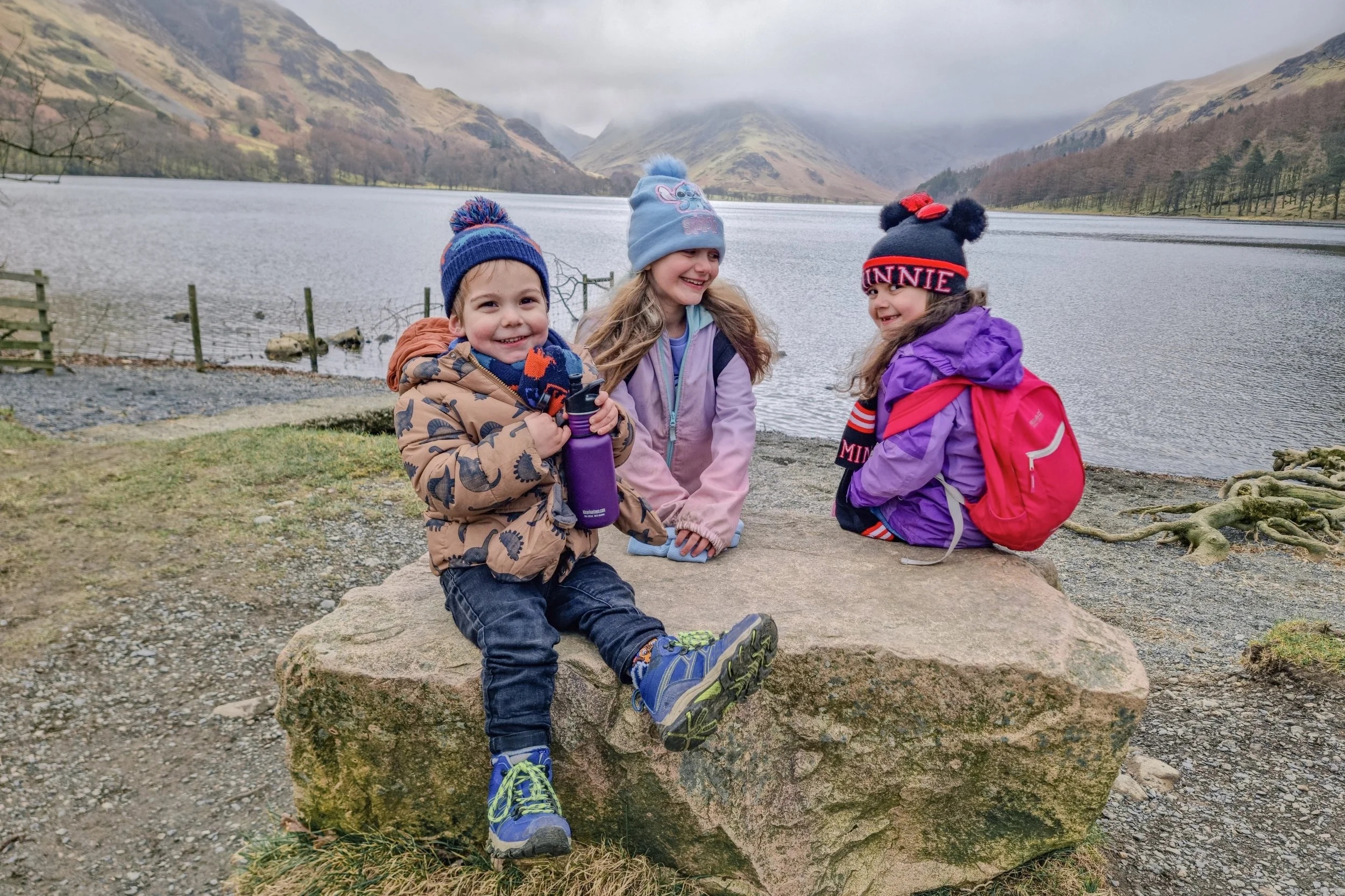
The Buttermere Circular
How far is the walk?
If you want to do the full Buttermere Circular, it is approximately 4.5 miles long.

Is it suitable for children?
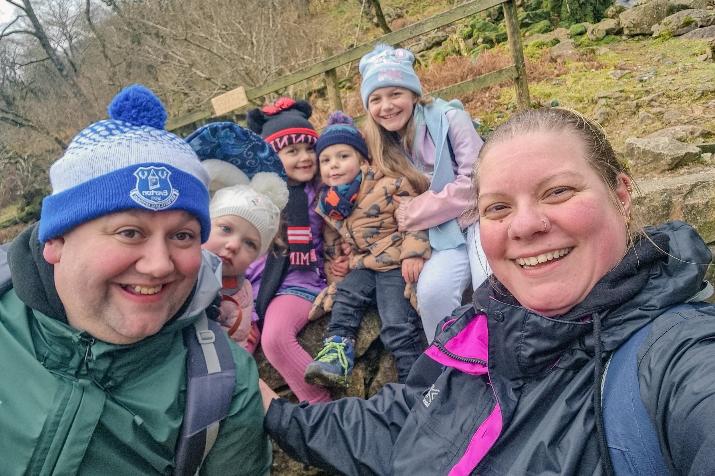
Definitely! We have done the walk with our children at varying ages. Although Munchkin did just under 6 miles from the NT car park a couple of weeks before his 3rd birthday, I’d suggest younger family members travel in a carrier or stroller.
Are there facilities available?
To the north of the lake in Buttermere Village you will find public toilets adjacent to the car park behind the Bridge Hotel.
Highlights of the Buttermere Circular
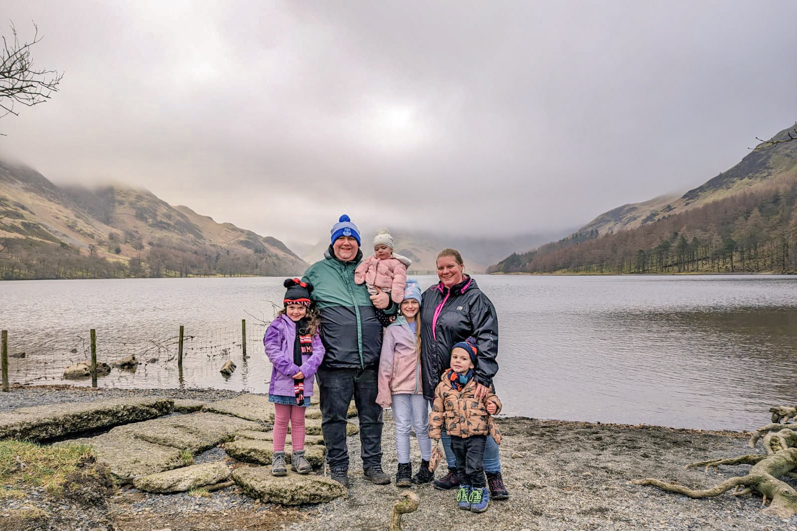
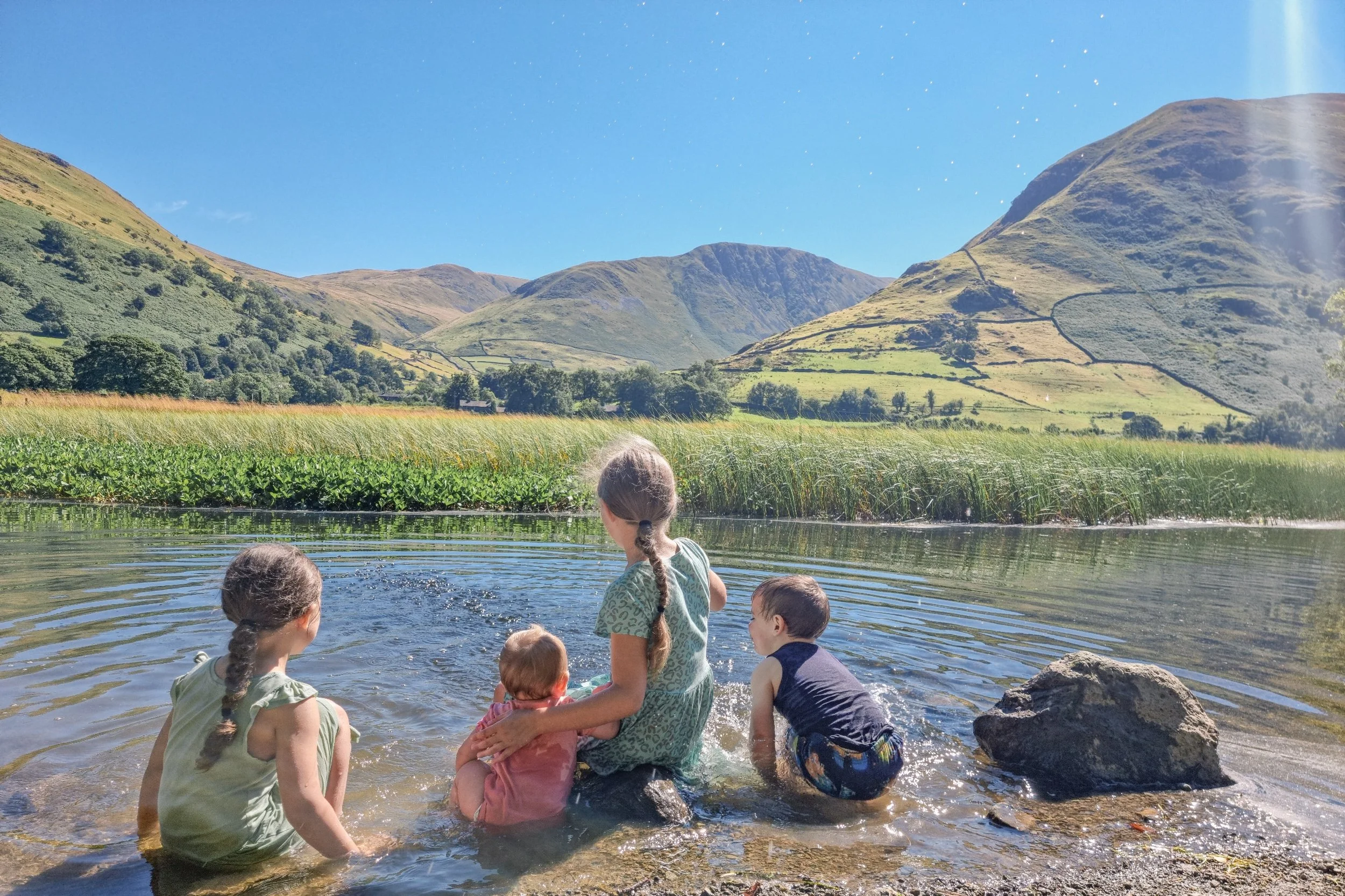
The lakeshore
With 4.5+ miles of lake to enjoy on the Buttermere Circular, there are several perfect spots to enjoy the lakeshore, take beautiful photos with the fells in the background, and even have a paddle in the shallow waters.
N.B. It may seem obvious, but always take care when near the water of any lake, stream, or river. Keep children supervised.
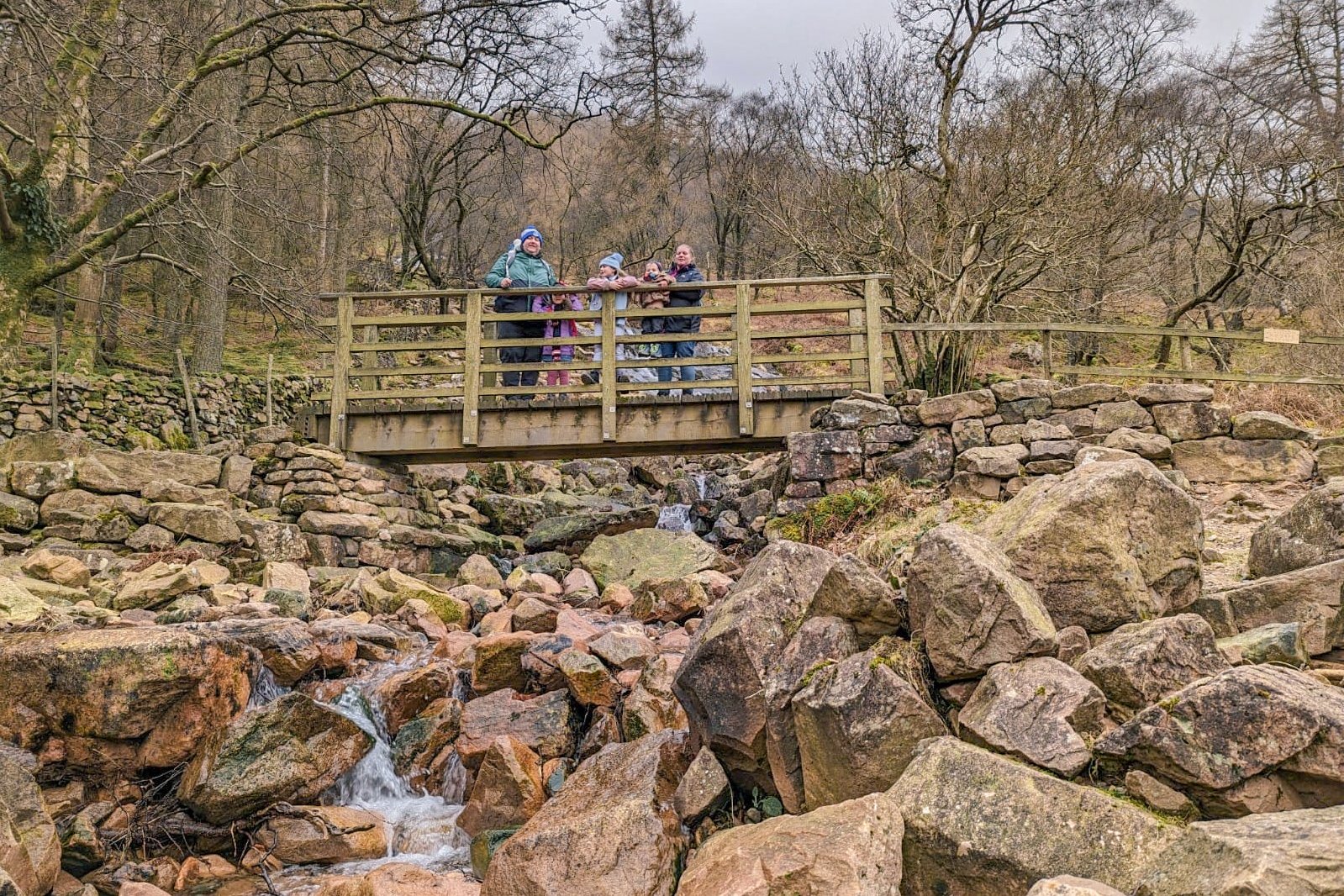
Sour Milk Gill
Named for its white, swirling waters, Sour Milk Gill is the outfall of Bleaberry Tarn. Plenty of lovely spots to take photos including on the wooden bridge or rocky outcrops just beyond the Buttermere Circular path.
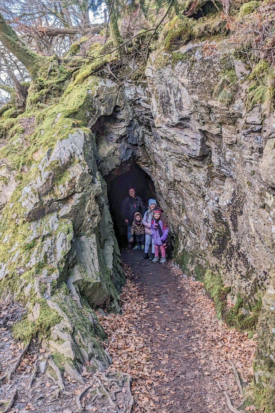
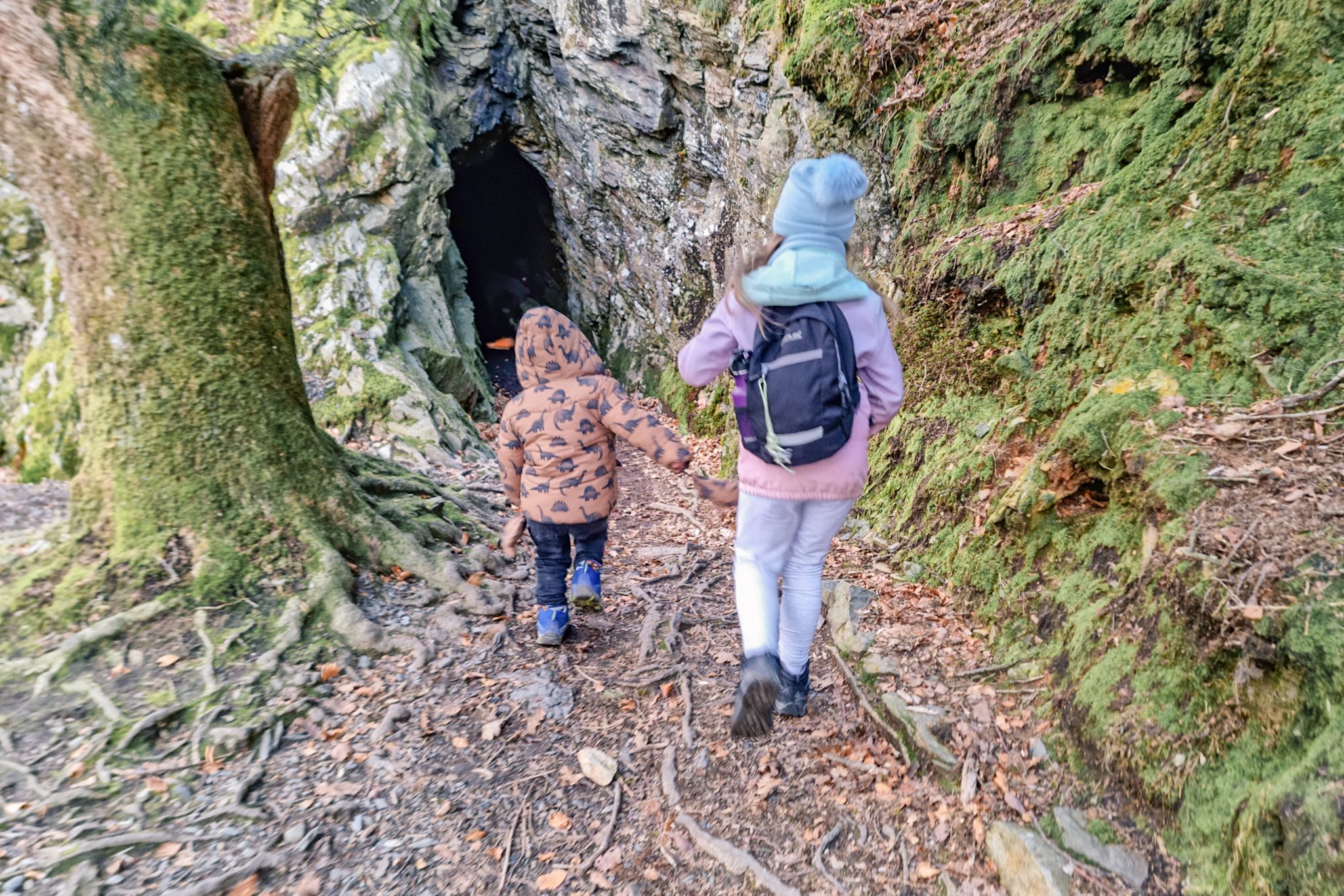
Buttermere cave
It may be called a cave, but it's actually a 50ft long tunnel. Take care when walking through the dark, especially if the weather has been wet recently. There can be deep puddles inside.
Flora and fauna
From spring wildflowers to summer heather to the sheep and cows in the fields around the lake, Buttermere offers a variety of magical flora and fauna to enjoy.

Scale Force
Scale Force is the Lake District’s highest waterfall, with a single drop of 170ft. If you want to take a hike to Scale Force, it's around 1.8 miles from the National Trust car park but the terrain is boggy, uneven, and non-waymarked.

Miles Without Stiles 25: Buttermere Lakeshore
Please note: the map below has not yet been updated, the middle section marked as 'for many' is actually 'for some' standard.

So, there you go. I really hope you have enjoyed reading through the information about Buttermere and checking out the photos of our visit. With this guide, you have everything you need to make a visit yourself… and I hope you enjoy it as much as we have over the years.
For more blog posts about exploring the beautiful places we have on our Cumbrian doorstep check out my Lake District category here. Have you found somewhere free and amazing in the Lake District? We love to explore new spots, so feel free to share in the comments below.
Pin It!


Check out the beautiful Buttermere Circular, with all the info you need to plan your own visit.